English
 Spanish
 German
 French
 Serbian
 Russian
Kaweah River
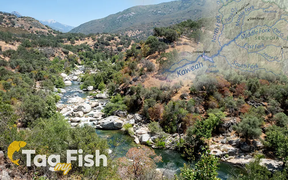
General data
- Name: Kaweah River
- Water system: Planet Earth
- Water type: River
- Source: Middle Fork Kaweah River, Marble Fork Kaweah River
- Progression: Tulare Lake -> Planet Earth
- Climates: Subtropical, Temperate
- Continents: North America
- Countries: United States of America