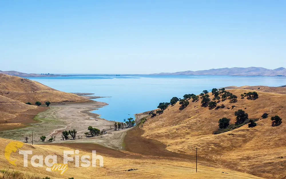
San Luis Reservoir

General data
- Name: San Luis Reservoir
- Water system: San Joaquin River
- Water type: River
- Progression: San Luis Creek (California) -> Los Baños Creek -> San Joaquin River -> Suisun Bay -> Carquinez Strait -> San Pablo Bay -> San Francisco Bay -> Golden Gate strait -> Pacific Ocean -> Planet Earth
- Climates: Temperate
- Continents: North America
- Countries: United States of America
Description
San Luis Reservoir is an artificial lake on the San Luis Creek. It is the fifth largest reservoir in California. Depending on the water level, the reservoir stretches about 14 kilometers from north to south at its longest point and is five miles (8 km) wide. At the eastern end of the reservoir is the San Luis Dam, the fourth largest embankment dam in the United States, which enables a total capacity of 2,041,000 acre-feet (2,518,000 dam^3). Pacheco State Park lies along its western shores. San Luis Reservoir is part of the larger San Luis Reservoir State Recreation Area (California State Parks) and therefore offers many recreational opportunities for anglers, boaters, and campers. Because water from the reservoir is imported from the Sacramento River Delta, San Luis shares many of its fish species with that area, including largemouth bass, striped bass, crappie, bluegill, catfish, sunfish, yellow perch, and occasionally sturgeon and salmon. The California Office of Environmental Health Hazard Assessment (OEHHA) has developed safe eating advice for fish caught in San Luis Reservoir based on levels of mercury or PCBs found in local species.


