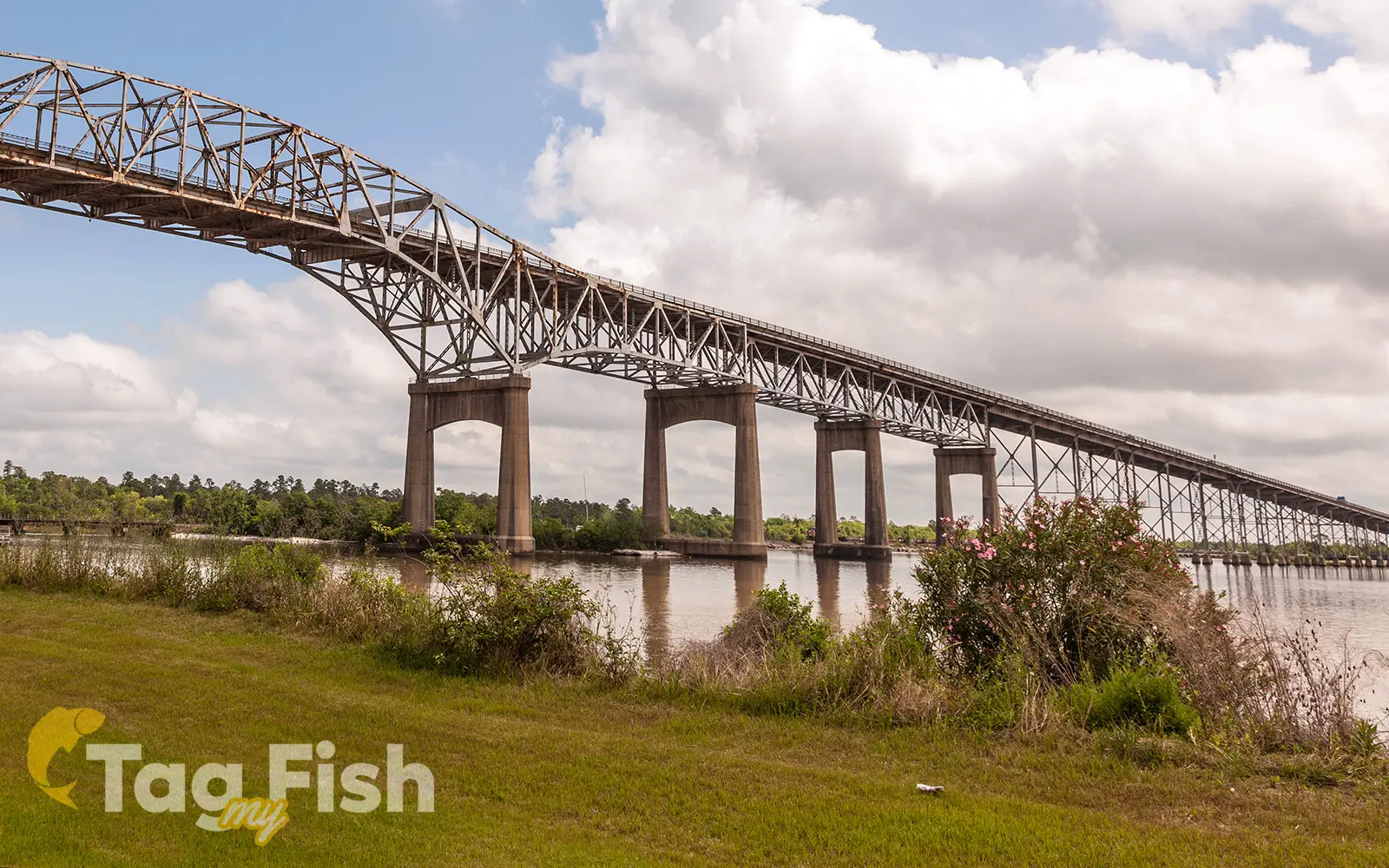
Calcasieu River

General data
- Name: Calcasieu River
- Water system: Gulf of Mexico
- Water type: River
- Progression: Gulf of Mexico -> Atlantic Ocean -> Planet Earth
- Climates: Subtropical
- Continents: North America
- Countries: United States of America
Description
The Calcasieu River is a river on the Gulf Coast in southwestern Louisiana. Approximately 320 km long, it drains a largely rural area of forests and bayou country, meandering southward to the Gulf of Mexico. The Calcasieu rises in Vernon Parish, north of Leesville, and flows initially southeast, passing through the Kisatchie National Forest southwest of Alexandria. It then turns southwest, flowing past Oakdale and Lake Charles, the largest city on the river. It enters the north end of the brackish Calcasieu Lake, an estuary on the Gulf of Mexico approximately 16 km southwest of Lake Charles. The lake, which is referred to by locals as Big Lake, is connected by a 8 km channel to the gulf on the south end. The lower portion of the river south of Lake Charles is paralleled by a navigable canal which connects to the Gulf Intracoastal Waterway.


