English
 Spanish
 German
 French
 Serbian
 Russian
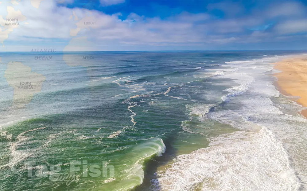
Atlantic Ocean
General data
- Name: Atlantic Ocean
- Water system: Planet Earth
- Water type: Ocean
- Progression: Planet Earth
- Climates: Tropical, Subtropical, Temperate, Subpolar, Polar
- Continents: Africa, Europe, Asia, North America, South America
- Countries: Angola, Anguilla, Antigua and Barbuda, Argentina, Aruba, Bahamas, View all... Barbados, Belize, Benin, Bermuda, Brazil, Cameroon, Canada, Chile, Colombia, Congo, Costa Rica, Cote D’Ivoire, Cuba, Denmark, Dominica, Dominican Republic, Equatorial Guinea, Falkland Islands (Malvinas), Faroe Islands, France, French Guiana, Gabon, Gambia, Ghana, Greenland, Guatemala, Guinea, Guinea-Bissau, Iceland, Republic of Ireland, Liberia, Mauritania, Mexico, Morocco, Namibia, Netherlands, Nicaragua, Nigeria, Norway, Portugal, Puerto Rico, Sao Tome And Principe, Senegal, Sierra Leone, South Africa, South Georgia and the South Sandwich Islands, Spain, Togo, Trinidad And Tobago, Turks And Caicos Islands, England (UK), United States of America, Uruguay, Venezuela, United States Virgin Islands, Democratic Republic of the Congo, Scotland (UK), Wales (UK), Northern Ireland (UK), Canary Islands (Spain), Azores (Portugal), Madeira (Portugal), Cape Verde