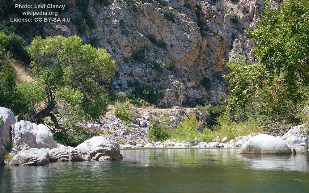
Deep Creek (Mojave tributary)

General data
- Water type: River
- Progression: Mojave River -> Planet Earth
- Climates: Subtropical, Arid (desert)
- Continents: North America
- Countries: United States of America
Description
Deep Creek is a tributary of the Mojave River, 23.4 miles (37.7 km) long, in San Bernardino County, California. The source of Deep Creek is at an elevation of 7,512 feet (2,290 m), at the head of Little Green Valley in the San Bernardino Mountains.[1][5] It initially flows southwest, through the communities of Arrowbear and Running Springs, before turning north. It is joined by Hooks Creek from the west; a dam on Little Bear Creek, a tributary of Hooks Creek, forms Lake Arrowhead. A short distance downstream is Aztec Falls, a popular swimming area at a waterfall along Deep Creek. The creek continues north, at the bottom of a deep gorge through mountainous wilderness, receiving Holcomb Creek and Coxey Creek from the right before turning west, forming a canyon between the San Bernardino Mountains and Ord Mountains. The Deep Creek Hot Springs are located along the stream where it turns to the west. The Pacific Crest Trail follows the Deep Creek canyon for 16 miles (26 km), from the confluence of Hooks Creek to the mouth. Deep Creek ends at its confluence with the West Fork Mojave River forming the Mojave River, at an elevation of 2,992 feet (912 m). The confluence is located 10 miles (16 km) southeast of Hesperia, directly behind Mojave Forks Dam, a flood-control structure built in 1974.