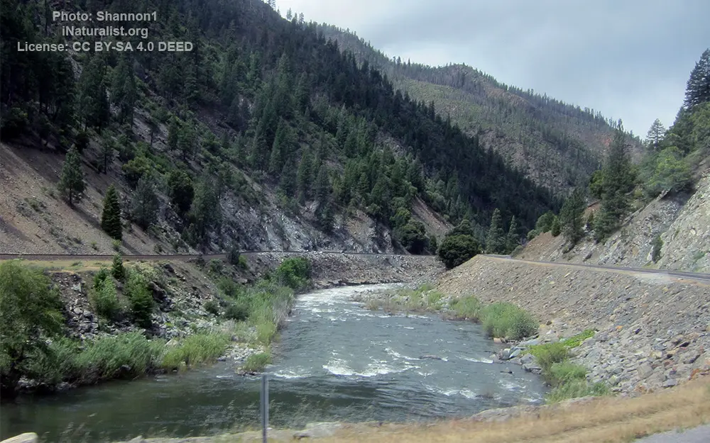
East Branch North Fork Feather River

General data
- Name: East Branch North Fork Feather River
- Water system: Sacramento River
- Water type: River
- Source: Indian Creek (Plumas County, California)
- Progression: North Fork Feather River -> Lake Oroville -> Feather River -> Sacramento River -> Suisun Bay -> Carquinez Strait -> San Pablo Bay -> San Francisco Bay -> Golden Gate strait -> Pacific Ocean -> Planet Earth
- Climates: Temperate
- Continents: North America
- Countries: United States of America
The East Branch North Fork Feather River is a left tributary of the North Fork Feather River in the northern Sierra Nevada, Plumas County, California, United States. Primarily within the Plumas National Forest, its course extends from Paxton (north of Quincy) to Belden.[8] The East Branch is formed by the confluence of Indian Creek and Spanish Creek just upstream of Paxton. Indian Creek and Spanish Creek drain an extensive watershed along about 46 miles (74 km) of the Sierra Crest in eastern Plumas County, along its border with Lassen County. Indian Creek is 47 miles (76 km) long, but is 71 miles (114 km) long measured to the head of its tributary Last Chance Creek. Spanish Creek, the smaller of the two, is about 28 miles (45 km) long. From the confluence, the East Branch winds west for 18.1 miles (29.1 km) through a steep and narrow canyon until its confluence with the North Fork next to Caribou Rd, about 60 miles (97 km) northeast of Oroville. The river canyon is an important transportation corridor, forming route for SR 70.

 English
 Spanish
 German
 French
 Serbian
 Russian

