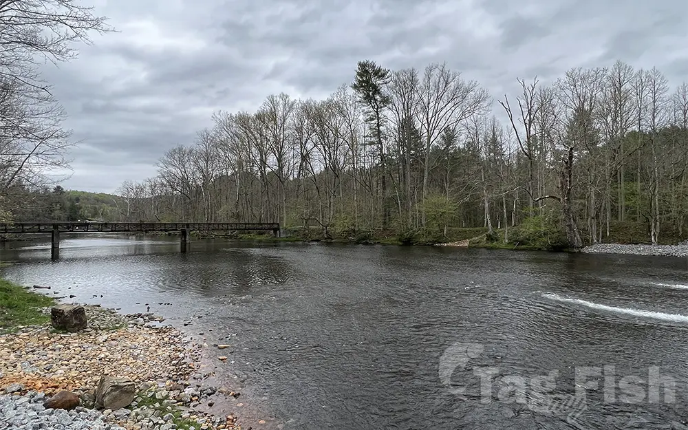
South Fork Holston River

General data
- Name: South Fork Holston River
- Water system: Tennessee River
- Water type: River
- Progression: Holston River -> Tennessee River -> Ohio River -> Mississippi River -> Gulf of Mexico -> Atlantic Ocean -> Planet Earth
- Climates: Temperate
- Continents: North America
- Countries: United States of America
The South Fork Holston River originates in Smyth County, Virginia near the community of Sugar Grove, where it is formed by the combination of several coldwater streams. There are two different special regulation trout fishing sections within the upper portions of the river. In the largest section, only single-hook artificial lures may be used, and there is a creel limit of two fish per day and a 16-inch minimum size limit. This section is approximately four miles long, extending from 500 feet above the dam at the Buller Fish Cultural Station upstream to the upper Jefferson National Forest boundary (above the crossing of the Appalachian Trail). Both rainbow and brown trout are available in this section of the South Fork. The second section of special regulation trout fishing is for catch and release only (no keeping fish), and only single-hook artificial lures may be used. This section of the South Fork lies within the boundaries of the Virginia Department of Wildlife Resources’ Buller Fish Cultural Station. It extends from the concrete dam downstream to the lower boundary of the Cultural Station. This area provides excellent trophy trout for all anglers and provides year-round trout fishing with easy access through the Buller property. Below the Buller Fish Cultural Station there are two designated stocked trout fishing areas. The first is located in the Thomas Bridge area, and the second is located in the St. Clair Bottom area along Riverside Road. Fishing these stocked trout areas requires a trout license in addition to a statewide freshwater fishing license. This Class ’A’ trout water is stocked eight times between October and May each year.

 English
 Spanish
 German
 French
 Serbian
 Russian

