English
 Spanish
 German
 French
 Serbian
 Russian
Tugaloo River
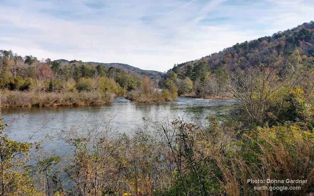
General data
- Name: Tugaloo River
- Water system: Savannah river
- Water type: River
- Source: Tugalo Lake
- Progression: Lake Hartwell -> Savannah river -> Atlantic Ocean -> Planet Earth
- Climates: Temperate
- Continents: North America
- Countries: United States of America