English
 Spanish
 German
 French
 Serbian
 Russian
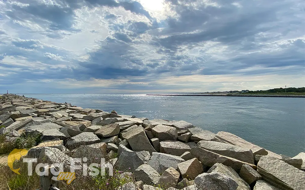
Cape Cod Canal
General data
- Name: Cape Cod Canal
- Water system: Atlantic Ocean
- Water type: Sea channel
- Progression: Cape Cod Bay -> Gulf of Maine -> Atlantic Ocean -> Planet Earth
- Climates: Temperate
- Continents: North America
- Countries: United States of America