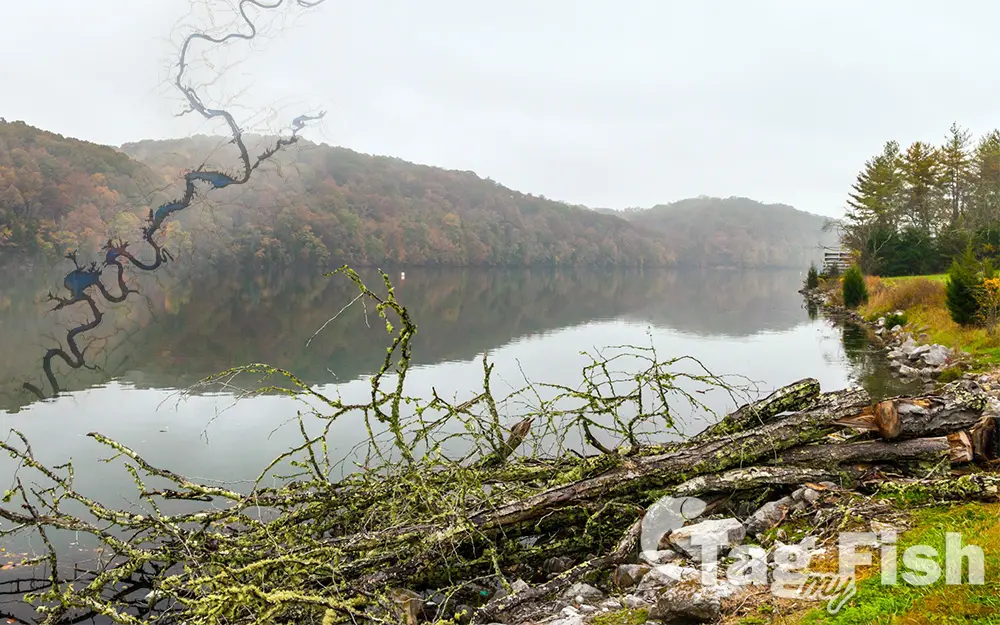
Melton Hill Lake

General data
- Name: Melton Hill Lake
- Water system: Tennessee River
- Water type: Artificial lake
- Progression: Clinch River -> Tennessee River -> Ohio River -> Mississippi River -> Gulf of Mexico -> Atlantic Ocean -> Planet Earth
- Climates: Temperate
- Continents: North America
- Countries: United States of America
Melton Hill Lake provides nearly 193 miles of shoreline and 5,470 acres of water surface and includes parts of Loudon, Roane, Anderson, and Knox counties. The reservoir stretches 56 miles up the Clinch river from the dam to the base of Norris Dam, and is navigable for 38 miles from Melton Hill Dam to Clinton. Melton Hill is the only TVA dam on a tributary stream, or not on the Tennessee River, with a navigation lock. The lock lowers and raises vessels 60 feet between Melton Hill Lake and Watts Bar Lake and vice-versa. Melton Hill Dam is a hydroelectric dam on the Clinch River just south of Oak Ridge, Tennessee. The dam is operated by the Tennessee Valley Authority, which built the dam in the early 1960s. Melton Hill Dam was named for Melton Hill, a knob atop Copper Ridge where the U.S. Coast and Geodetic Survey established a triangulation station in 1884. A large extent of the reservoir is narrow and riverine; however, a few small coves do border the main navigation channel. Melton Hill is a cool water reservoir with relatively low productivity. The cold water released through Norris Dam negatively impacts warm water fish species like Largemouth Bass and Bluegill causing slow growth and limited reproduction. The cool flowing water, however, guarantees that dissolved oxygen levels remain good throughout the summer for Smallmouth Bass, Striped Bass, and Musky. There is a wide variety of angling opportunities including Musky, Striped Bass, Crappie, and black bass. The Tennessee Department of Environment and Conservation advises against the consumption of catfish for everyone from Melton Hill, due to PCB contamination.

 English
 Spanish
 German
 French
 Serbian
 Russian

