English
 Spanish
 German
 French
 Serbian
 Russian
Loch Garry
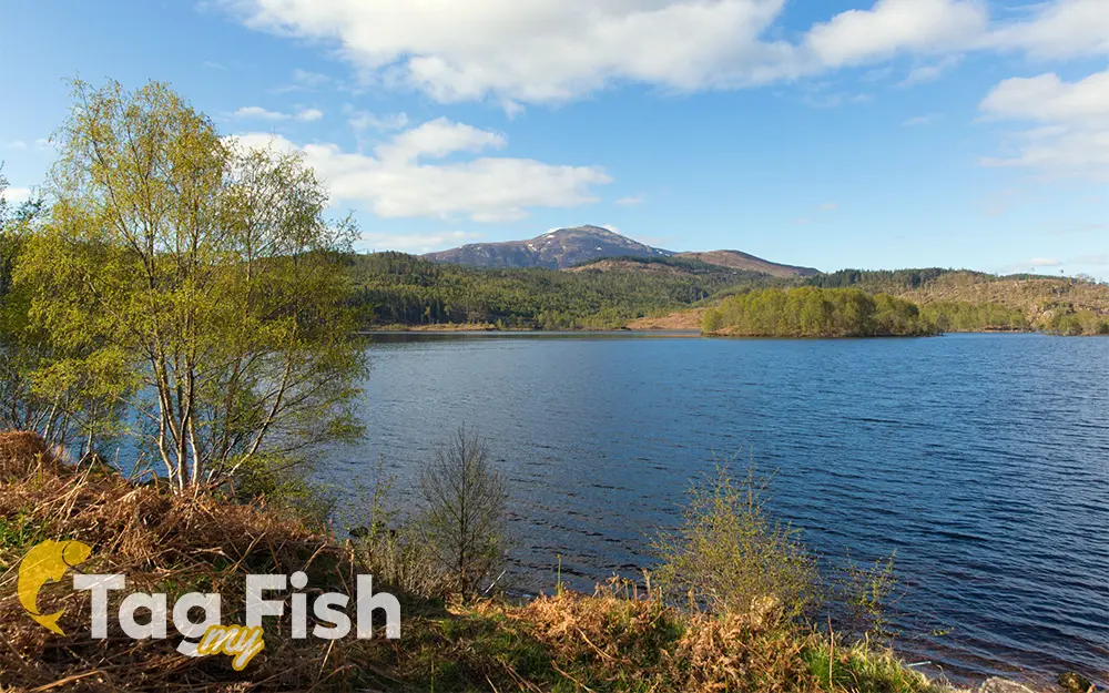
General data
- Name: Loch Garry
- Water system: North Sea
- Water type: Natural lake
- Progression: River Garry (Loch Oich tributary) -> Loch Oich -> River Oich -> Loch Ness -> River Ness -> Moray Firth -> North Sea -> Atlantic Ocean -> Planet Earth
- Climates: Temperate
- Continents: Europe
- Countries: Scotland (UK)