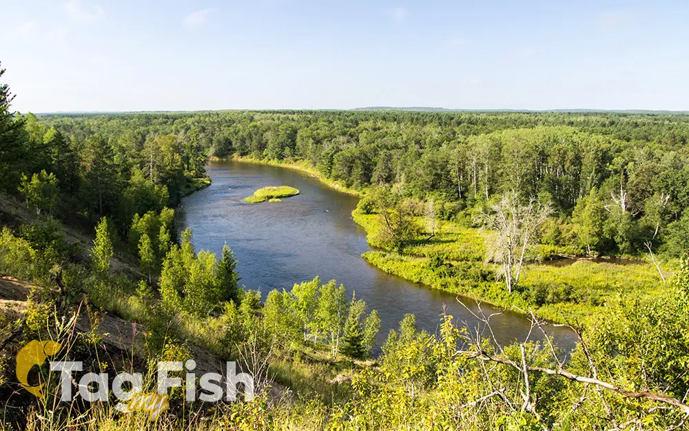
Au Sable river

General data
- Name: Au Sable river
- Water system: St. Lawrence River
- Water type: River
- Progression: Lake Huron -> St. Clair River -> Lake St. Clair (North America) -> Detroit River -> Lake Erie -> Niagara River -> Lake Ontario -> St. Lawrence River -> Gulf of St. Lawrence -> Atlantic Ocean -> Planet Earth
- Climates: Continental
- Continents: North America
- Countries: United States of America
The Au Sable River in Michigan, United States runs approximately 138 miles (222 km) through the northern Lower Peninsula, through the towns of Grayling and Mio, and enters Lake Huron at the town of Oscoda. It is considered one of the best brown trout fisheries east of the Rockies and has been designated a blue ribbon trout stream by the Michigan Department of Natural Resources. A map from 1795 located in the United States Gazetteer calls it the Beauais River. In French, the river is called the Rivière au sable, literally Sand River.

 English
 Spanish
 German
 French
 Serbian
 Russian

