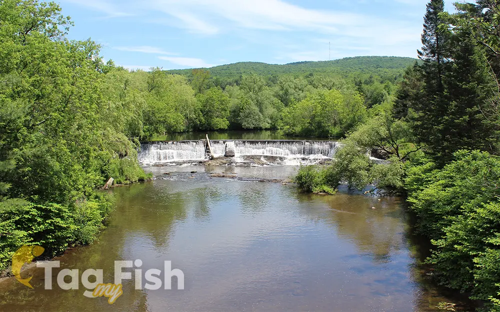
Missisquoi River

General data
- Name: Missisquoi River
- Water system: St. Lawrence River
- Water type: River
- Progression: Lake Champlain -> Richelieu River -> St. Lawrence River -> Gulf of St. Lawrence -> Atlantic Ocean -> Planet Earth
- Climates: Continental
- Continents: North America
- Countries: Canada, United States of America
The Missisquoi River is a transboundary river of the east shore of Lake Champlain (via Missisquoi Bay), approximately 80 miles (130 km) long, in northern Vermont in the United States and southern Quebec in Canada. It drains a rural area of the northern Green Mountains along the Canada–US border northeast of Lake Champlain, and an area of Quebec’s Eastern Townships. The South Branch rises in Vermont and runs generally from southeast to northwest; the North Branch rises in Lake d’Argent in Eastman, Quebec, and runs from north to south. The North Branch and the South Branch join at Highwater, Quebec, just downriver from North Troy, Vermont. The river then runs in Quebec for approximately 15 miles (24 km), re-entering Vermont at Richford and thence to Lake Champlain’s Missisquoi Bay.

 English
 Spanish
 German
 French
 Serbian
 Russian

