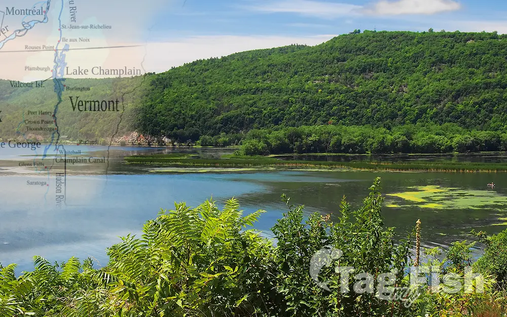
Lake Champlain

General data
- Name: Lake Champlain
- Water system: St. Lawrence River
- Water type: Natural lake
- Progression: Richelieu River -> St. Lawrence River -> Gulf of St. Lawrence -> Atlantic Ocean -> Planet Earth
- Climates: Continental
- Continents: North America
- Countries: Canada, United States of America
Lake Champlain is a natural freshwater lake in North America. It mostly lies between the US states of New York and Vermont, but also extends north into the Canadian province of Quebec. The Champlain Valley is the northernmost unit of a landform system known as the Great Appalachian Valley, which stretches between Quebec, Canada, to the north, and Alabama, US, to the south. The Champlain Valley is a physiographic section of the larger Saint Lawrence Valley, which in turn is part of the larger Appalachian physiographic division. Lake Champlain is one of numerous large lakes scattered in an arc through Labrador, in Canada, the northern United States, and the Northwest Territories of Canada. It is the thirteenth-largest lake by area in the US. Approximately 490 sq mi (1,269 km2) in area, the lake is 107 mi (172 km) long and 14 mi (23 km) across at its widest point, and has a maximum depth of approximately 400 ft (120 m). The lake varies seasonally from about 95 to 100 ft (29 to 30 m) above mean sea level. Waterways Lake Champlain has been connected to the Erie Canal via the Champlain Canal since the canal’s official opening on September 9, 1823: the same day as the opening of the Erie Canal from Rochester on Lake Ontario to Albany. It connects to the St. Lawrence River via the Richelieu River, with the Chambly Canal bypassing rapids on the river since 1843. Together with these waterways, the lake is part of the Lakes to Locks Passage. The Lake Champlain Seaway, a project to use the lake to bring ocean-going ships from New York City to Montreal, was proposed in the late 19th century and considered as late as the 1960s, but rejected for various reasons. The lake is also part of the 740-mile Northern Forest Canoe Trail, which begins in Old Forge, New York and ends in Fort Kent, Maine. Fish Ninety-three species of fish have been identified in the Lake Champlain Basin, with 78 native and 15 non-native species. About twenty of these species are actively cought by anglers, including large and smallmouth bass, walleye, northern pike, chain pickerel, brown bullhead, channel catfish, yellow perch, lake trout, landlocked Atlantic salmon, rainbow (steelhead) trout, brown trout, and rainbow smelt. At present, ten species found in the Basin are classified as endangered or threatened by New York, Vermont, or Québec.

 English
 Spanish
 German
 French
 Serbian
 Russian

