English
 Spanish
 German
 French
 Serbian
 Russian
Thunder Bay River
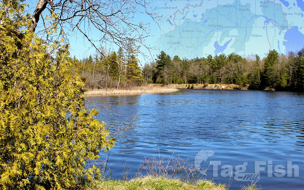
General data
- Name: Thunder Bay River
- Water system: St. Lawrence River
- Water type: River
- Progression: Lake Huron -> St. Clair River -> Lake St. Clair (North America) -> Detroit River -> Lake Erie -> Niagara River -> Lake Ontario -> St. Lawrence River -> Gulf of St. Lawrence -> Atlantic Ocean -> Planet Earth
- Climates: Continental
- Continents: North America
- Countries: United States of America