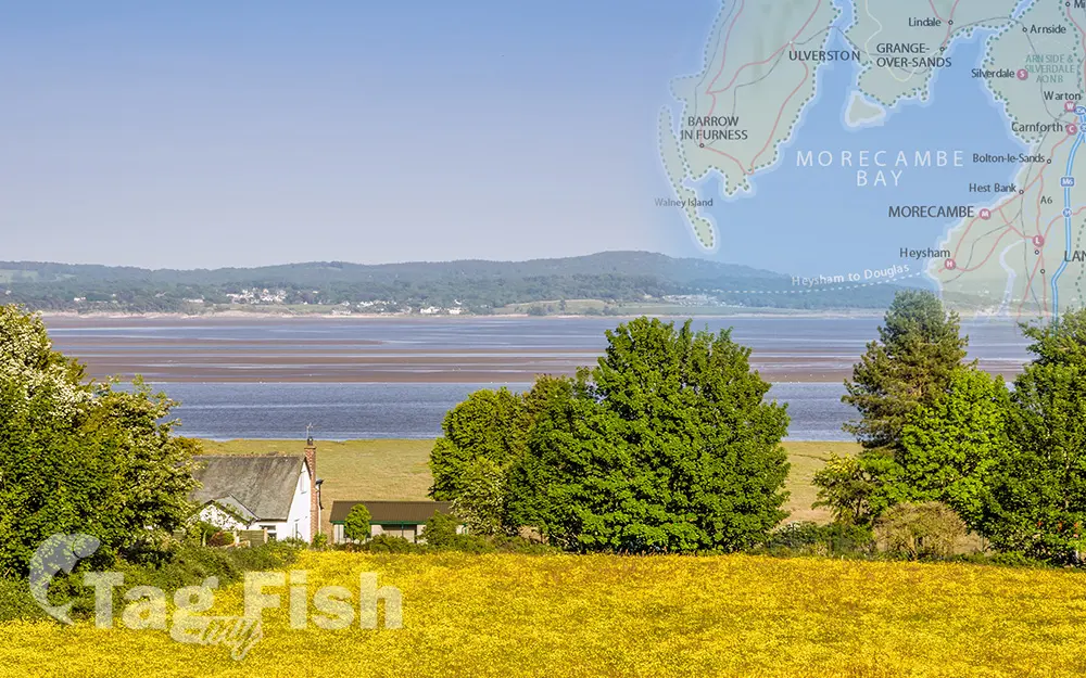
Morecambe Bay

General data
- Name: Morecambe Bay
- Water system: Irish Sea
- Water type: Bay
- Progression: Irish Sea -> Atlantic Ocean -> Planet Earth
- Climates: Temperate
- Continents: Europe
- Countries: England (UK)
Morecambe Bay is an estuary in northwest England, just to the south of the Lake District National Park. It is the largest expanse of intertidal mudflats and sand in the United Kingdom, covering a total area of 120 sq mi (310 km2). In 1974, the second largest gas field in the UK was discovered 25 mi (40 km) west of Blackpool, with original reserves of over 7 trillion cubic feet (tcf) (200 billion cubic metres). The rivers Leven, Kent, Keer, Lune and Wyre drain into the Bay, with their various estuaries making a number of peninsulas within the bay. Much of the land around the bay is reclaimed, forming salt marshes used in agriculture. The bay is known for its wildlife populations, being a Special Area of Conservation, Special Protection Area and a Site of Special Scientific Interest, and there is a bird observatory at Walney Island. Some of the surrounding land is also a protected area, forming the Morecambe Bay Pavements, home to rare butterflies such as the high brown fritillary. The bay has rich cockle beds, which have been fished by locals for generations.

 English
 Spanish
 German
 French
 Serbian
 Russian

