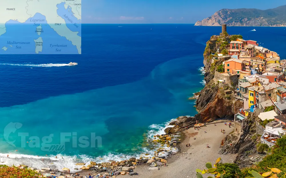
Ligurian Sea

General data
- Name: Ligurian Sea
- Water system: Mediterranean Sea
- Water type: Sae
- Progression: Mediterranean Sea -> Atlantic Ocean -> Planet Earth
- Climates: Subtropical
- Continents: Europe
- Countries: France, Italy
The Ligurian Sea is an arm of the Mediterranean Sea. It lies between the Italian Riviera (Liguria) and the island of Corsica. The sea is thought to have been named after the ancient Ligures people. The sea borders Italy as far as its border with France, and the French island of Corsica. In the east, the sea borders the Tyrrhenian Sea, while in the west it borders the Mediterranean Sea proper. Genoa is the most prominent city in the area. The northwest coast is noted for its scenic beauty and favorable climate. The Gulf of Genoa is its northernmost part. The sea receives the Arno River from the east and many other rivers that originate in the Apennines. The ports of Genoa, La Spezia, and Livorno are on its rocky coast. It reaches a maximum depth of more than 2,800 m (9,300 ft) northwest of Corsica. According to a 1983 study, since 1977 a series of experimental analyses on sea-level variations at Genoa and Imperia highlighted "the existence of a seiche wave with a mean period of 5.8 hours", whose reasons weren't yet explained at that time. The Ligurian Sea was modeled as a rectangular semi-closed basin with a longitudinal length of 40 km and a transversal one of 10 km, in an average constant depth of 2000 m.

 English
 Spanish
 German
 French
 Serbian
 Russian

